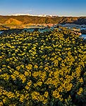
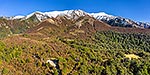
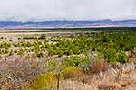
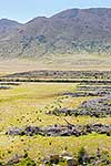
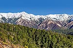
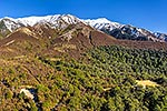
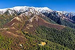
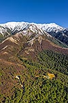
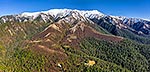
Kaweka Range and Makahu Saddle Road end. Aerial view across to Mt Kaweka (1724m) in winter snow. Square format, Puketitiri, Hastings District, Hawke's Bay Region, New Zealand (NZ), stock photo.
These images are protected by copyright, but we license them to suit your needs. Click
'quick quote' to learn more...
Kaweka Range and Makahu Saddle Road end. Aerial view across to Mt Kaweka (1724m) in winter snow. Square format, Puketitiri, Hastings District, Hawke's Bay Region, New Zealand (NZ) Stock Photo
Kaweka Range and Makahu Saddle Road end. Aerial view across to Mt Kaweka (1724m) in winter snow. Square format, Puketitiri, Hastings District, Hawke's Bay Region, New Zealand (NZ)
 in winter snow. Square format, Puketitiri, Hastings District, Hawke's Bay Region, New Zealand (NZ) stock photo.")
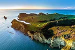


 in winter snow. Square format, Puketitiri, Hastings District, Hawke's Bay Region, New Zealand (NZ)")