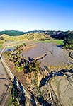
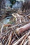
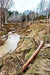
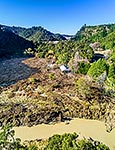
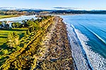
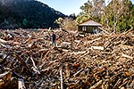
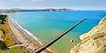
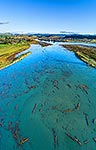
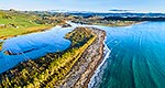
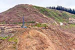
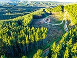
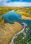
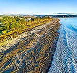
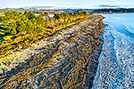
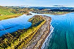
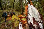
Tolaga Bay floods in June 2018 brought large amounts of forestry timber slash down Mangatokerau and Uawa Rivers to choke the estuary and cover beaches over a wide area. Aerial view, Tolaga Bay, Gisborne District, Gisborne Region, New Zealand (NZ), stock photo.
These images are protected by copyright, but we license them to suit your needs. Click
'quick quote' to learn more...
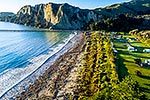
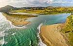
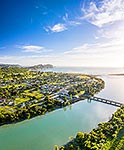
Tolaga Bay floods in June 2018 brought large amounts of forestry timber slash down Mangatokerau and Uawa Rivers to choke the estuary and cover beaches over a wide area. Aerial view, Tolaga Bay, Gisborne District, Gisborne Region, New Zealand (NZ) Stock Photo
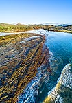
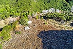
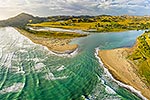
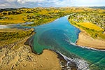
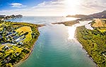
Tolaga Bay floods in June 2018 brought large amounts of forestry timber slash down Mangatokerau and Uawa Rivers to choke the estuary and cover beaches over a wide area. Aerial view, Tolaga Bay, Gisborne District, Gisborne Region, New Zealand (NZ)
 stock photo.")


")